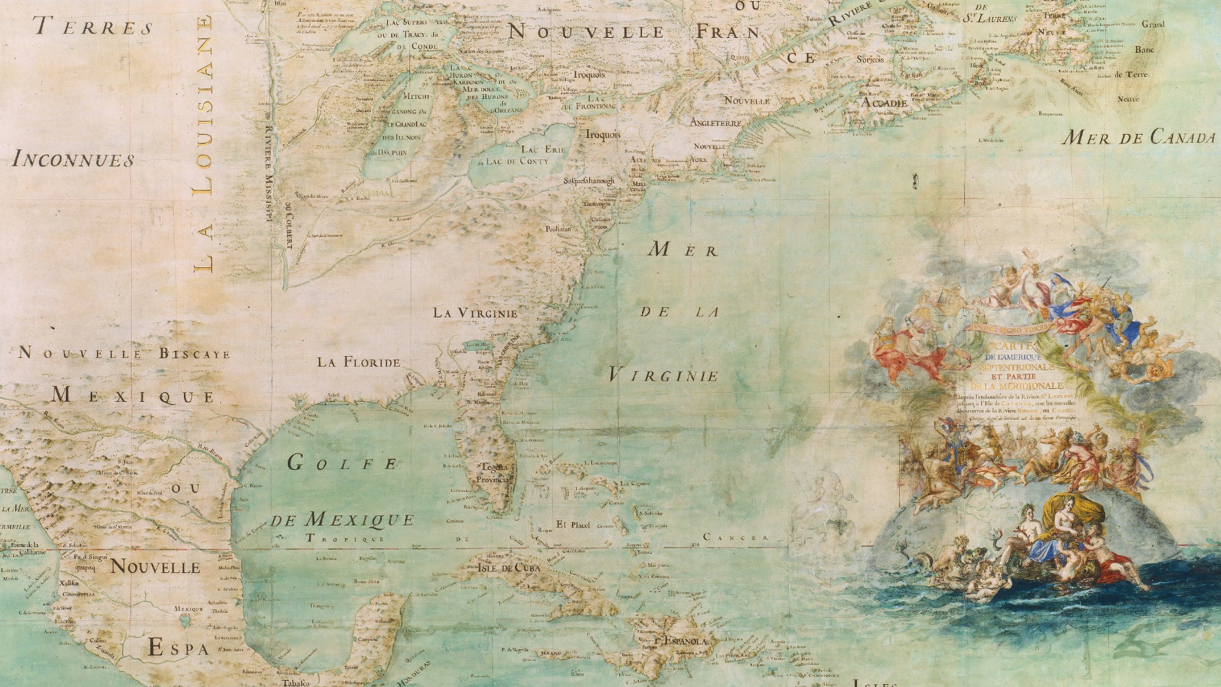
Mapping Projects
Below is a list of early American mapping projects, programs, online exhibits, and digitized collections. Mapping, and the knowledge and imagination that goes into it, has become an important area of study for early America. These resources represent some of the best digital content for early American cartography.
Alan M. Voorhees Map Collection
The Alan M. Voorhees Map Collection is a digital collection of 17th, 18th, and 19th century maps of the Americas held by the Library of Virginia. Online access is provided through Virginia Memory.
American Revolution and Its Era: Maps and Charts of North America and the West Indies, 1750 to 1789
American Revolution and Its Era is a digital project from the Library of Congress that provides access to digitized images of the Library’s charts, maps, and other cartographic materials related to North America and the West Indies from 1750 to 1789.
Atlas Digital da América Lusa
Atlas Digital da América Lusa is a mapping project focused on Portugal’s American colonies. Early towns and cities, as well as forts, missions, and churches, can be located using the project’s mapping system. The website is in Portuguese.
Charting America: Maps from the Lawrence H. Slaughter Collection and Others
Charting America is a digitized collection from the New York Public Library. The collection is made up of over 3,000 maps from the Library’s collections, most notably the Lawrence H. Slaughter Collection. These maps, oceanic charts, and other cartographic materials are especially strong for early America.
Cities and Towns
Cities and Towns is a digitized collection from the Library of Congress that provides digital images of atlases, maps, and other cartographic materials related to major urban areas from across the world. The early Americas are well represented in this collection.
Civil War Map Project
The Civil War Map Project is a digital collection of Civil War era maps held by the Library of Virginia. Online access is provided through Virginia Memory.
Civil War Maps
Civil War Maps is a digitized collection from the Library of Congress that provides digital images of atlases, maps, and other cartographic materials from the Library’s collections related to the American Civil War.
David Rumsey Map Collection
The David Rumsey Map Collection is a digitization project begun in 1996 that digitizes the maps and atlases of cartographic collector David Rumsey. Nearly 111,000 individual items have been digitized and added to its website. The collection has a strong emphasis on North and South America. Certain software employed by the website allows users to juxtapose various maps and save them into file groups.
Discovery and Exploration
Discovery and Exploration is a digitized collection from the Library of Congress that provides digital images of the Library’s charts, maps, and other cartographic materials related to the European Age of Discoveries. The early Americas are well represented in this collection.
Fry-Jefferson Maps, Surveys and Derivatives
The Fry-Jefferson Maps, Surveys and Derivatives is a digital collection of maps created by Joshua Fry and Peter Jefferson in the mid-18th century. Online access is provided through Virginia Memory.
Historical Maps of Pennsylvania
Historical Maps of Pennsylvania is a collection of over a thousand digitized images of Pennsylvania maps. The maps listed range in date from the 16th century to the 20th century.
Hotchkiss Map Collection
The Hotchkiss Map Collection is a digitized collection from the Library of Congress that provides digital images of the Library’s collection of Jedediah Hotchkiss maps. These maps were created by Hotchkiss to be used by the Confederate Army during the American Civil War. Most of the maps included focus on the Shenandoah Valley in Virginia and West Virginia.
Invasion of America
Invasion of America is an interactive map created by Claudio Saunt that maps the various cessions of land acquired by the United States from various indigenous peoples.
JCB Map Collection
The JCB Map Collection features nearly 3,600 digitized images of the John Carter Brown Library’s cartographic holdings. A significant amount of the maps digitized are of the early Americas and date back to the 16th century.
Kashnor Collection of Early American Maps, 1670-1856
The Kashnor Collection of Early American Maps, is a digital collection from the Huntington Library, Art Museum, and Botanical Gardens. It features digitized images of dozens of maps, charts, and other cartographic items from the Huntington’s Kashnor Collection of Early American Maps.
Lawrence H. Slaughter Collection of English Maps, Charts, Globes, Books and Atlases
The Lawrence H. Slaughter Collection of English Maps, Charts, Globes, Books and Atlases is a digital collection of maps, charts, and other cartographic materials from the New York Public Library’s Lawrence H. Slaughter Collection. It includes a variety of early American maps printed in England.
Living Nations, Living Words
Living Nations, Living Words is a digital project created by Joy Harjo and and the Library of Congress that presents the work of 47 indigenous poets through an interactive story map.
Louisiana: European Explorations and the Louisiana Purchase
Louisiana: European Explorations and the Louisiana Purchase is a digital collection from the Library of Congress that brings together the Library’s various holdings related to the Louisiana Purchase. Much of the collection is made up of late 18th and early 19th century maps.
Mapas Project
The Mapas Project is a mapping project from the University of Oregon that digitizes cartographic pictorials from colonial Mesoamerica. Most of these pictographic manuscripts have some sort of territorial or landscaping dimension. These digitized maps and artworks help historians better understand the spaces both colonists and indigenous peoples inhabited in Mesoamerica.
Mapping a Nation: Shaping the Early American Republic
Mapping a Nation: Shaping the Early American Republic is a digital mapping exhibition from the American Philosophical Society. The exhibit focuses not only on the technology of early American map making, but also the knowledge and ideologies that go into producing visions of the physical and political landscapes.
Mapping Early American Elections
Mapping Early American Elections explores how Americans voted for their representatives during the early years of the republic. There are interactive maps, tables of congressional elections, essays, and more.
Mapping Marronage
Mapping Marronage is an interactive mapping project that traces the intellectual, political, and cultural networks of exchange created by enslaved people in the 18th and 19th century Atlantic World.
Maps of New Netherland, New Amsterdam, and New England
Maps of New Netherland, New Amsterdam, and New England is a digital collection of maps housed at Fordham University that focus on the Dutch colony of New Netherland and the English colonies of Connecticut, Rhode Island, and Massachusetts.
Maps of the French and Indian War
Maps of the French and Indian War is a digital exhibition of the maps held by the Massachusetts Historical Society related to the Seven Years War in North America.
Map of US
Map of US is an online collection of historical atlases and maps of the United States. It provides high resolution scans of several 18th and 19th century maps of the U.S. and the individual states.
Maps of Liberia, 1830 to 1870
Maps of Liberia, 1830 to 1870 is a digital collection from the Library of Congress that digitizes the Library’s collections of American Colonization Society maps. The included maps show the resettlement patterns of African Americans who were colonized in West Africa.
Maps of New Jersey
Maps of New Jersey is a digital collection from Rutgers University Libraries and features digitized images of maps from various libraries across the state.
Maps of North America
Maps of North America is a digital collection from the New York Public Library and features digitized images of the Library’s North American maps. Early America is well represented in this collection.
Native Land Digital
Native Land Digital is an interactive mapping project that charts indigenous spaces across the areas. The project aims to educate people about the location and breadth of indigenous homelands.
New Brunswick Loyalist Journeys
New Brunswick Loyalist Journeys utilizes Geographic Information Systems (GIS) to trace the migrations of American loyalists who fled the United States during the American Revolution. The project uses the The Loyalist Collection and other materials held at the New Brunswick University Libraries to create the datasets for the GIS mapping system.
The New Map of Empire
The New Map of Empire is a digital mapping project by S. Max Edleson and is meant as a virtual companion for his book, The New Map of Empire: How Britain Imagined America before Independence (Cambridge: Harvard University Press, 2017).
Oklahoma Historical Society Indian Territory Maps
The Oklahoma Historical Society Indian Territory Maps are a group of maps at the Oklahoma Historical Society that detail Indian Territory in the late 19th century. 57 maps have been digitized as part of this collection.
Old Maps Online
Old Maps Online is a collaborative digital mapping project between Klokan Technologies GmbH in Switzerland and The Great Britain Historical GIS Project at the University of Portsmouth. The online software locates old maps for any current landscape the user chooses. Over 400,000 maps have been integrated into the software. Early America is well represented.
Our Beloved Kin: Remapping A New History of King Philip’s War
Our Beloved Kin: Remapping a New History of King Philip’s War is a digital companion to Lisa Brooks’ Our Beloved Kin: A New History of King Philip’s War. It provides interactive maps that readers can follow as they read along with the book, as well as an alternate “path” that teaches the history of individuals and the spaces they inhabited during King Philip’s War.
Panoramic Maps
Panoramic Maps is a digitized collection from the Library of Congress that provides digital images of atlases, maps, and other cartographic materials created in the panoramic style from the Library’s collections. Late 19th century America is well represented in this collection.
Patriot Paths: Tennessee’s Revolutionary War Veterans
Patriot Paths is a digital mapping project from the Tennessee State Library and Archives that traces the settlement patterns of North Carolina’s Revolutionary War veterans as they colonized the area that would become Tennessee. The project uses census data, military records, and other sources to plot these movements and settlement patterns.
People, Religious, Information Networks, and Travel - Migration in the Early Modern World (PRINT) is a collaborative project that traces networks of communication and migrations among religious minorities in the early Atlantic World.
Railroad Maps, 1829 to 1900
Railroad Maps, 1820 to 1900 is a digitized collection from the Library of Congress that provides digital images of atlases, maps, and other cartographic materials related to railroads from the Library’s collections.
Richard H. Brown Revolutionary War Map Collection
The Richard H. Brown Revolutionary War Map Collection is a digital project that provides online access to nearly 300 printed and manuscript maps held by the Fred W. Smith National Library for the Study of George Washington.
Rochambeau Map Collection
The Rochambeau Map Collection is a digitized collection from the Library of Congress that provides digital images of its Rochambeau Map Collection. These maps were owned and used by Jean Baptiste Donatien de Vimeur, comte de Rochambeau during the American Revolution.
Sustaining Slavery: Mapping Kentucky’s Support for the Domestic Slave Trade
Sustaining Slavery is an interactive ArcGIS StoryMap that tells the story of Kentucky’s role in the domestic slave trade.
Ta’n Weji-sqalia’tiek: Mi’kmaw Place Names Digital Atlas
Ta’n Weji-sqalia’tiek Mi’kmaw Place Names Digital Atlas is a digital mapping project that documents approximately 13,000 years of Mi’kmaw habitation in Mi’kma’ki. The project superimposes roughly 1,500 Mi’kmaw place names over a map of Nova Scotia. Much of these place names come from interviews with Mi’kmaq Elders and knowledge holders, as well as historical documents and linguistic works.
Visualizing Historical Networks
A program from Harvard University’s Center for History and Economics, Visualizing Historical Networks digitally maps the economic and social connections of the past. Several of the mapping projects from this program focus on the early Americas and the Atlantic World, including The Economy of Privilege, The Inner Life of Empires: An Eighteenth Century History, and the Royal Africa Company Neworks.
Lists of digital sources related to the early Americas.

A list of online databases with early American sources.

A list of digital collections related to the early United States.